Bolivarian Government evaluates public infrastructure after earthquake with LiDAR scanner
Internet
Published at: 05/11/2026 07:27 PM
The Scientific Council of the Sectorial Vice Presidency for Public Works and Services carried out a specialized technical deployment to carry out the post-earthquake structural evaluation in archive and library areas of a building of public interest.
The action aims to diagnose possible vulnerabilities in strategic infrastructure following recent telluric events, the Última Noticias portal reported.
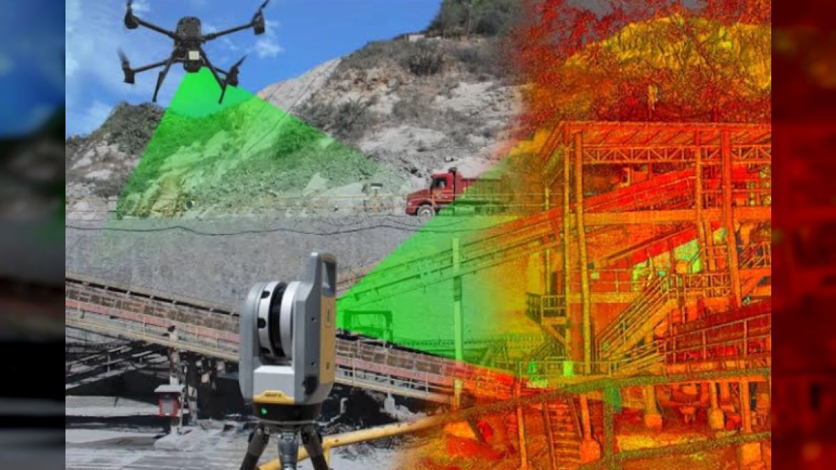
During the inspection, the team used LiDAR scanners to perform a three-dimensional spatial survey on the top level of the building.
The procedure included a photographic record and a visual review that allowed the location of the architectural and structural components to be mapped. With the data collected, the specialists will plan the necessary interventions and define the preventive shoring of the enclosure.
LiDAR technology uses laser light to measure distances and generate three-dimensional data on the surface of structures. In the construction and infrastructure sectors, this tool makes it easy to plan previous surveys and prepare detailed final plans.
3D digitization reduces the time needed to collect technical information and avoid unplanned modifications during construction.
It also optimizes the use of budgetary resources in architectural evaluation and conservation projects.